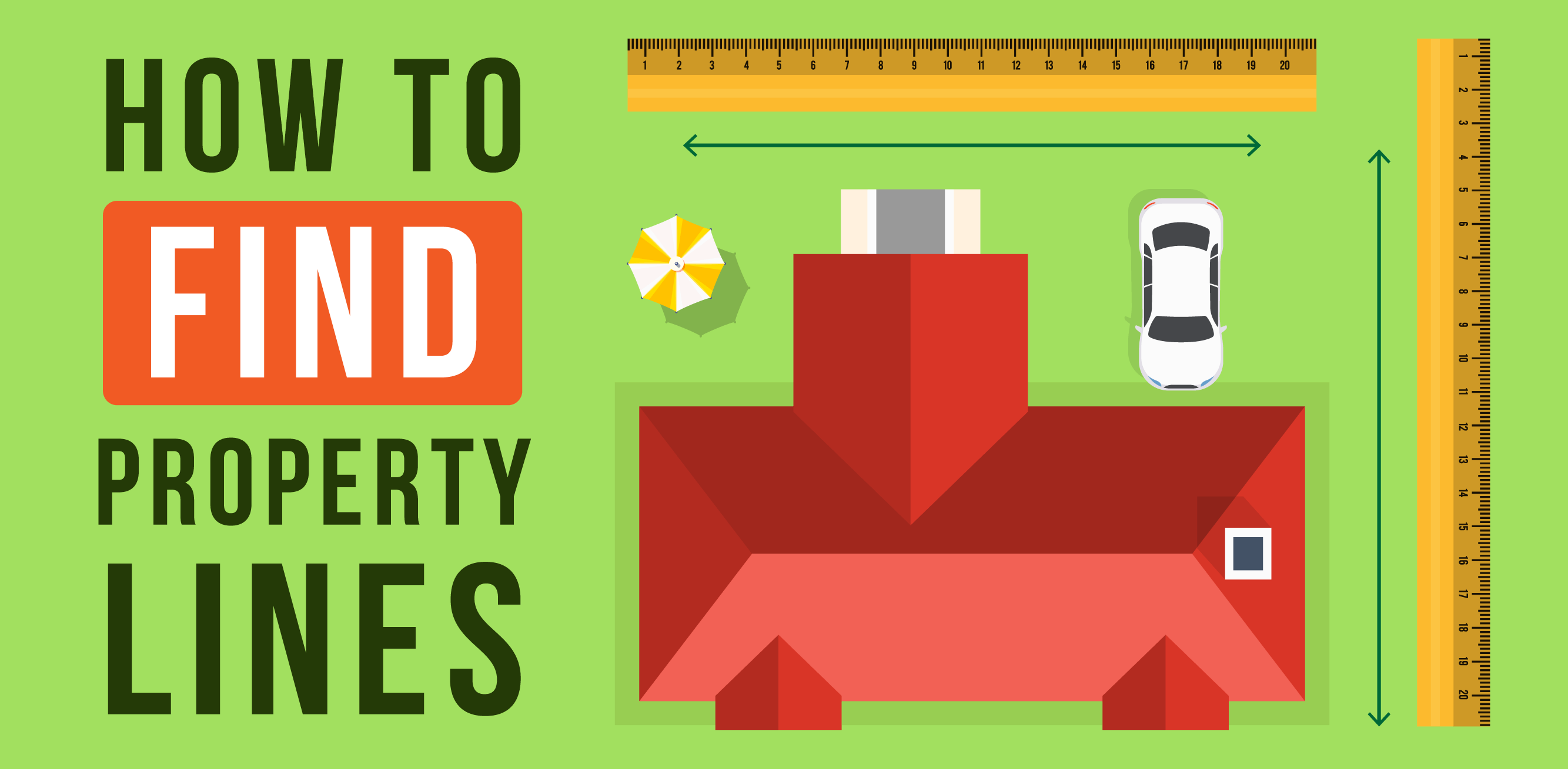
How to Find Property Lines

How to Find Property Lines
Searching for a property lines map? Want to know how to find your property lines for free? We are going to go over some tips and tricks to help you find your property lines online for free, using satellite maps, as well as when it's time to hire a professional to help you find your property lines.
Chapters
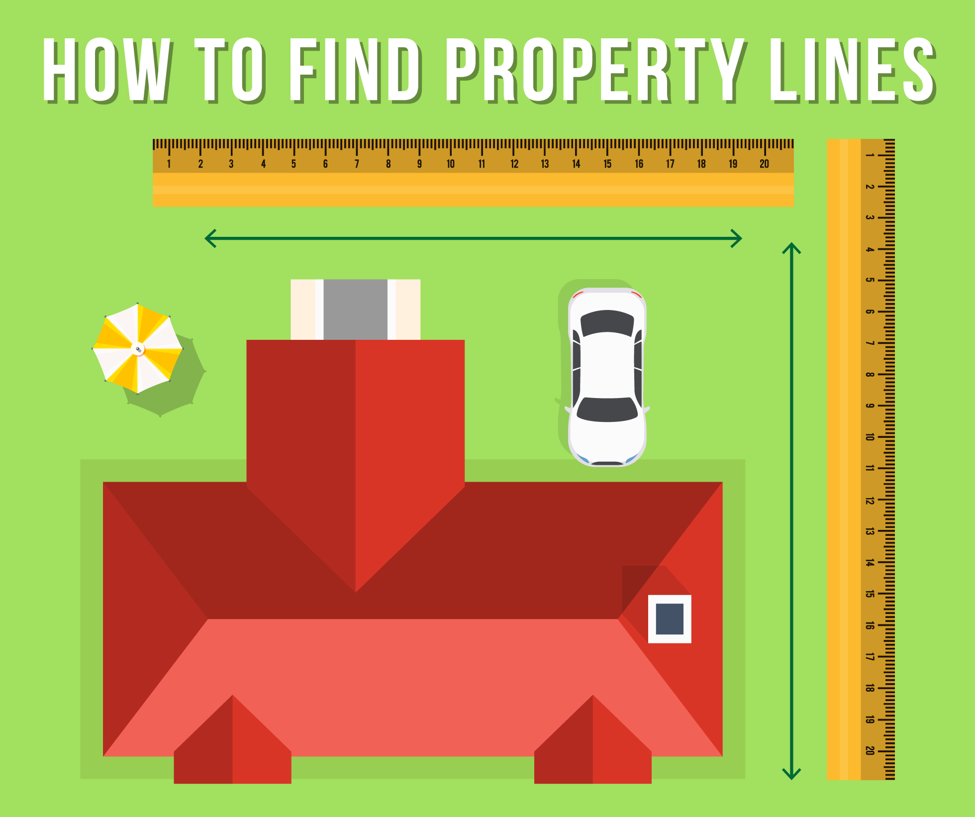
Wondering how to find your property lines? Finding your property lines online is a great place to start. Property markers are another great way to determine your property lines if you have them set up. You can sometimes see property lines on Google Maps and at the very least Google Maps or any map platform can give you some general information to help you narrow down finding your property lines. Finding property lines can be tricky and you want to make sure you get it right, here's how to find your property lines:
One of the fastest ways to be at odds with your neighbor is by putting a fence, tree, pool, or some other structure beyond your property’s line. It is not always entirely clear exactly where one person’s property ends and a neighbor’s property begins, but – thankfully – there are ways of finding that out. In doing so, you can confidently build a pool, put up a fence, or expand your garage while staying within your property lines.
With New Construction Homes it's likely the builder will provide a surveyor to accompany the sale to help you understand exactly where the property lines are. We recently helped a client buy a home in the Holly Springs area that was new construction and it came with the actual survey as well as the lot being marked with wood stakes.
How to Find Property Lines Online for Free:
Review the property survey
When purchasing a home, most homeowners receive a plat, which is essentially a map that shows the property’s lines and measurements. Those who did not receive a plat can most likely find it at their local surveyor or clerk’s office. Our Realtors in Raleigh can help you find a great surveyor if you need to find the property markers for a fence. Plats can be hard copies or may be found online. For those who are unable to access their own plat, it might also be helpful to review maps of neighboring properties to see if the property lines are displayed.
Check the deed
In your property’s deed, there should be a description of your property’s boundaries. However, the description may be referencing aspects of your property that may have changed, such as a group of trees. The deed may also be found online.
If you live in a neighborhood where many homes were most likely built during the same time, such as a subdivision, the deed’s description may be extremely vague. If that is the case, property line details may be in a ‘master plat,’ which is typically found in public records. A deed will also provide insight as to property owners who have purchased or sold off portions of their yards over the years. If you do not have your deed, you can typically obtain one at the register of deeds office, which is often located at the local county courthouse.
Visit your zoning department
Your local zoning department should have a record of the plat of your home, which is a map that shows how the land in your neighborhood is divided. It may be challenging to find plats for homes that are older than 100 years, but newer homes that are less than 100 years will most likely have a copy of the plat in the local zoning office.
Check for visual clues
While not a formal indicator as to exactly where your property lines are located, one way to begin the process of finding your property line is to examine the sidewalk, streetlights, and other visual clues surrounding your property. Contractors may have specifically built the sidewalk to align with the property lines, starting at one home’s plot and ending at the neighboring home. Streetlights are often placed on property lines as well.
This method may work if you just want a general idea as to where your property line is, but this method should not be used if you plan on putting in a pool, a new driveway, or an addition to your home. When doing significant work on your property, it is imperative to learn exactly where the property lines are so that you don’t run the risk of building something on your neighbor’s property.
Find hidden survey pins
Survey pins are thin iron bars in the ground used to designate property lines. They are typically capped with plastic and about two or three feet long. The original survey crew inserts the survey pins along the perimeter of the property when determining property lines. If you happen to have a metal detector, the pins are typically buried close to the sidewalk or curb of the property.
Unfortunately, survey pins are not always entirely accurate, as they may have been moved over the years by utility workers, tree-removal companies, etc. It is important to note that your property line does not change, even if the survey pins are moved. There are typically several survey pins located throughout the property, so if a few pins have been moved, it is still possible to determine the size of your property based on the other pins. If you suspect that several pins may have moved over the years, or if you are unsure as to how accurate the pins are, following the steps above such as checking the deed or meeting with your local zoning department is advised.
If you plan on digging up the property markers, it is important that you don’t hit any buried wires or irrigation systems, as you may be responsible for paying for the repairs if you do. Prior to digging, dial 811, which is the universal number in the United States that provides buried utility information. That will provide you with the information necessary to ensure there isn’t anything on your property you may hit. If utility information is buried below your property, the local utility company can mark county pipes or wires with spray paint on your property to ensure you don’t accidentally hit anything.
How do I read a metes and bounds survey?
A metes and bounds survey, which may be in your property’s deed, describes the exact distance between one established property point and the next. The downside is that it can be extremely difficult to comprehend, as metes and bounds surveying is a centuries-old method of surveying land dating back to 1785.
Although metes and bounds surveys have a long history, they are still used in some homes in South Carolina, North Carolina, Pennsylvania, New York, New Jersey, Maryland, Virginia, and Delaware, Kentucky, Texas, Tennessee, Georgia, and throughout all of New England.
"Metes and bounds" land means that there is a known landmark that begins the property, known as a “place of beginning” or “POB.” Using a compass, you can then follow the directions that it provides. Unfortunately, due to the lengthy history of metes and bounds surveys, several landmarks described in the survey – such as creeks, trees, etc. – have most likely changed, which makes following this survey rather confusing. Because metes and bound surveys are so old, they may have older language as well, such as “southerly,” “thence,” etc.
To read the metes and bounds survey, look for the starting point – which is typically located at one of the corners on your property. The survey will then provide detailed instructions on how to find the remaining corners and boundary lines of the property. A directional compass and measuring tape will be needed when following the metes and bounds survey.
Should I hire a professional surveyor to find property lines?
If you are unable to find the information you need in the survey or deed, a professional surveyor may be a great option. Contact your real estate agent or friends and family to find a trustworthy surveyor in your area. It may be worthwhile to interview more than one surveyor before finding one you feel most comfortable with. To find the property lines, the surveyor will measure and map the property and mark the boundaries with stakes.
Prior to hiring a professional surveyor, ensure that the surveyor is licensed in your state. They should also hold professional liability insurance which will cover you if the surveyor makes a mistake when surveying the property and goes over property lines. Additionally, ask them what type of equipment they use when completing the survey, such as a GPS or CAD. Surveys completed with a GPS or CAD are far more accurate and precise. After the surveyor completes the process, ask that they walk the property with you so that you will be clear on where your property lines are.
Hiring a professional surveyor is the only legally binding method to determine exactly where the property lines fall. If you plan on building an addition on your home, you will be required to complete a professional survey. A professional survey can be costly – often ranging from several hundred to thousands of dollars depending on the size of the property. However, it is well worth it when making significant changes to your home to ensure you do not go over your neighbor’s property line.
How long will it take a professional surveyor to find property lines?
Some homes are built on smaller plots that only have a few trees, meaning surveys can be completed in as little as 30 minutes or an hour. We have homes in Cary that it would take a surveyor 30-60 minutes. If the plot is much larger and more complex, with several trees, wooded areas, and fences, it could take several hours. The larger or more complex the home the longer it will take.
How much does it cost to hire a professional surveyor to find property lines?
The price of a professional home surveying process will range depending on the size and complexity of the plot of land, but it typically isn’t a cheap endeavor. On average, it can be about $500 for a survey, while larger plots of land may be closer to $1,000.
How to find property lines with a GPS:
-
Purchase and upload GPS mapping software, such as Global Mapper, to your GPS device. GPS mapping software can range in price from free trials up to $400 or $500 for the full software.
-
Obtain a plat map, legal survey review, mortgage map, or legal land map from your county clerk’s office or mortgage servicing provider.
-
Review the legal survey document to determine the “basis of bearing,” which should be explained in the document. Set your GPS mapping to the appropriate reference point described in the survey document to get the most accurate reading (such as “geodetic north,” “magnetic north,” etc.)
-
Enter the coordinates of one of your property’s corners. Depending on the GPS mapping program, you may be able to enter multiple coordinates or will have to upload each coordinate separately.
-
Go to the first point logged into the mapping program and select "go-to" or a similar option on the device.
-
When you reach the property corner, place a boundary marker in the ground. If you were unable to upload all coordinates into one route, load the next point of the boundary from your GPS, select "go to" or the appropriate option and move to the next waypoint.
-
Place a boundary marker in the ground and repeat this process until all corners of the property’s boundaries have been marked.
How do I see property lines on Google Maps?
Google Maps will display property lines if you type your address into the ‘Search Google Maps’ search bar and zoom into the property closely enough. However, property lines are not available on all locations in Google Maps, unfortunately. If you are trying to find property lines for a location that is not displaying the information you need in Google Maps, try checking your local county’s website. State or provincial government agencies, city governments, and county governments may provide that information for free.
Is there an app that shows property lines?
In addition to Google Maps, there are several GPS apps available that provide property line information. Again, there is nothing that is more accurate than a professional surveyor, but a GPS app may serve as a helpful guide when trying to get a clearer idea as to where your property begins and ends.
The LandGlide app uses GPS technology to pinpoint your property’s location. It also includes parcel records in counties throughout the country, covering more than 95 percent of the United States.
The Landgrip app allows users to view property data for parcels throughout the country. The Landgrid app has a survey editor that will allow you to create your own survey. They also have several preloaded surveys, which can be accessed with a paid subscription.
The Property Survey GPS app helps users find property lines and store measurements. The app can survey and explore your property and provide estimated land markers.
Why is it important to know property lines?
Understanding your property lines will not only make you a better neighbor, but will also give you peace of mind when planting trees, putting up a fence, or extending your driveway. Going over a neighbor’s property line can turn very ugly very fast, and may even lead to a lawsuit if property lines are significantly crossed.
If you are purchasing a new home, your mortgage lender or title insurance company will most likely recommend you complete a property survey, as this may help uncover issues with the property before you close. After completing a property survey, you may learn that the property is smaller than you realized, leading you to renegotiate the deal or walk away altogether.
Are property surveys public records?
Property surveys are only public records in certain states, whereas they are not available publicly in others. Plat maps, on the other hand, are typically public records and can usually be found at your local public records office. To find out whether or not your state makes property surveys publicly available, you can also contact your local public records office.
Key takeaways on How to Find Property Lines
When preparing to make changes to your home, you may feel confident that you know exactly where your property line falls just by looking at your yard or a neighbor’s fence. However, fences have been built in the wrong place in the past. There have also been several instances where considerable mistakes have been made, and property lines may be so wrong that the house could even be built on the entirely wrong lot. While that’s an extreme scenario, it is always best to have confidence in knowing exactly where your property lines fall prior to making changes to your home to be at peace with your neighbors (and avoid any potential lawsuits!).

Ryan Fitzgerald
Hi there! Nice to 'meet' you and thanks for visiting our Raleigh Real Estate Blog! My name is Ryan Fitzgerald, and I'm a REALTOR® in Raleigh-Durham, NC, the owner of Raleigh Realty. I work alongside some of the best Realtors in Raleigh. You can find more of my real estate content on Forbes, Wall Street Journal, U.S. News and more. Realtor Magazine named me a top 30 under 30 Realtor in the country (it was a long time ago haha). Any way, that's enough about me. I'd love to learn more about you if you'd like to connect with me on Facebook and Instagram or connect with our team at Raleigh Realty. Looking forward to connecting!